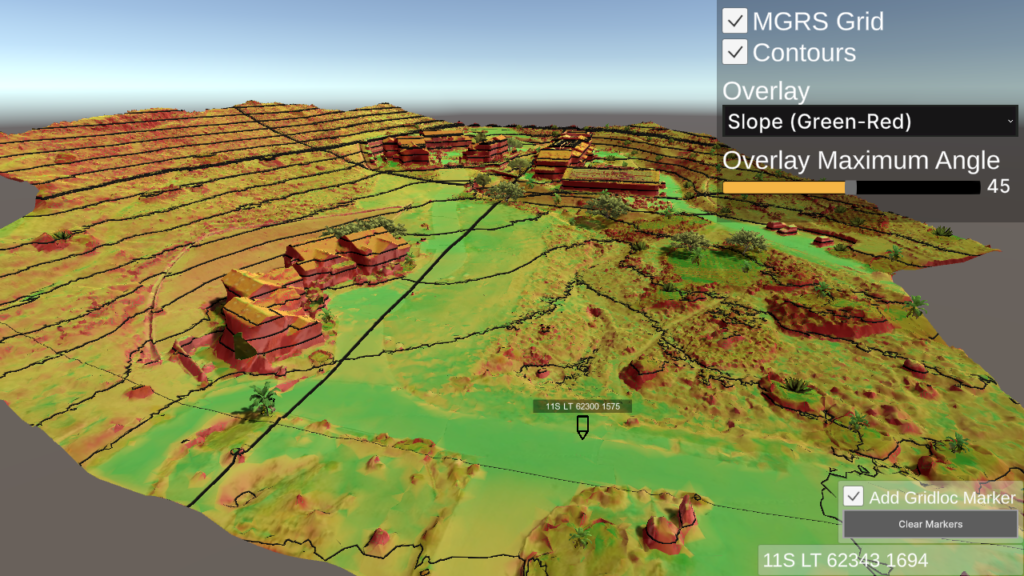
Demonstrates various tools for real-time terrain analysis.
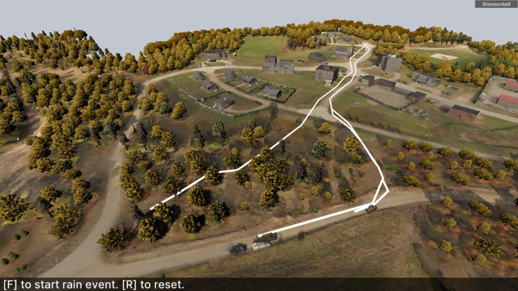
Demonstrates the dynamic navigation of different unit types to an arbitrary waypoint under a severe weather event affecting ground conditions.
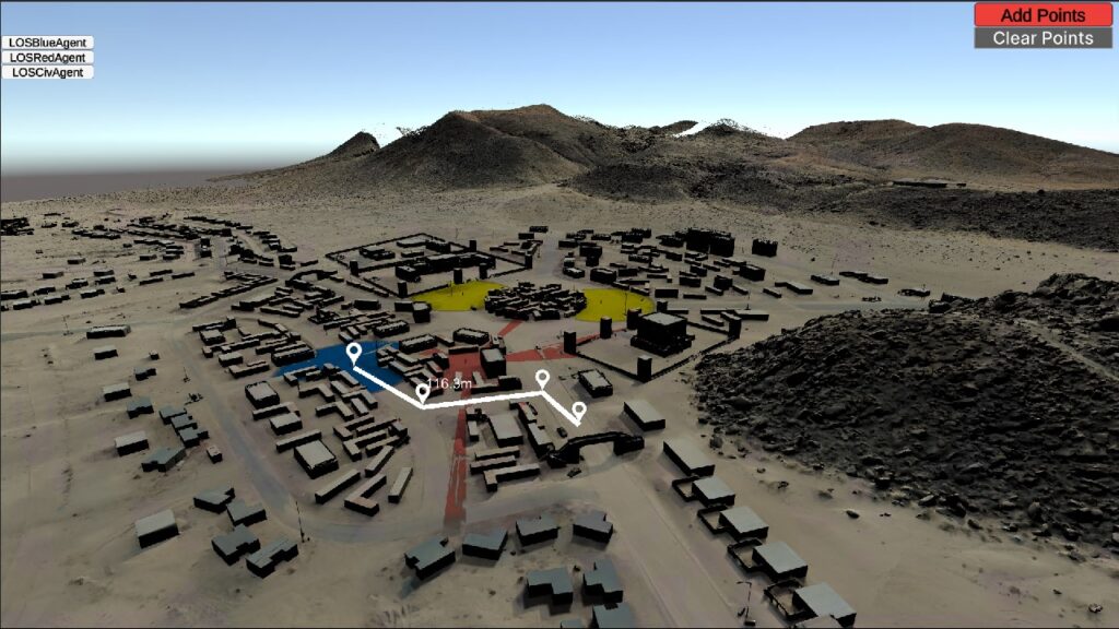
Demonstrates terrain map line-of-sight (LOS) system for BLUEFOR, OPFOR and CIV agents.

Demonstrates loading of terrain maps into a specific scene with REST features.
Create a navigation mesh from local OWT data for agent pathing.
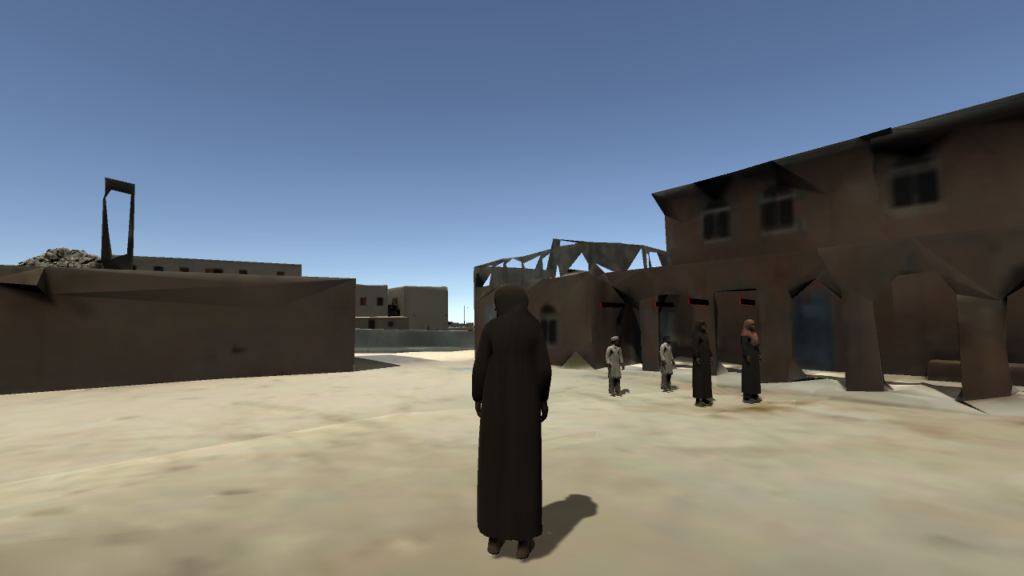
This example scene shows how to create an interactive tour around a terrain using scenario events and custom AI behaviors.
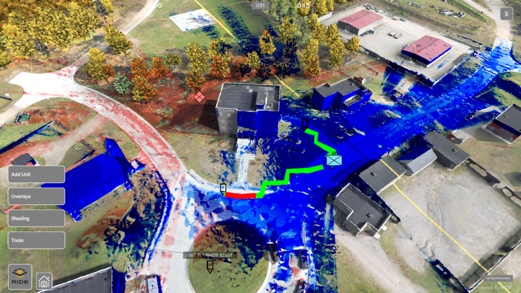
The RIDE ATLAS (Aerial Terrain Line of Sight Analysis System) integration represents an improved package of ATLAS rebuilt within RIDE.
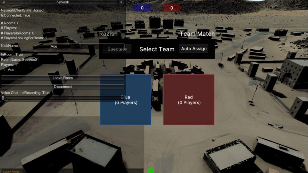
Red vs Blue networked competitive multiplayer on various terrain maps with dismounted or vehicular units.
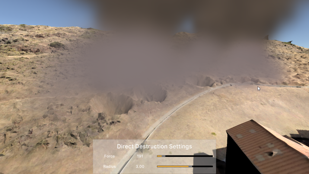
Apply explosive ordnance of user-set intensity and size at any location on a terrain map. Deformation of the surface geometry may change depending on the material/structure classification at that point.

Examine available terrain maps in TILE or LMAB formats, selecting between different LOD settings.
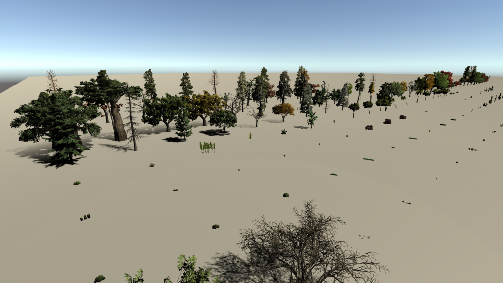
Collects the available SpeedTree assets that will be used to make asset bundles for different platforms.